
Clay-type lithium exploration in areas with thick vegetation and strongly weathered surfaces requires more than one source of remote sensing information. A 2025 paper in Sustainability presented a multi-source workflow for the San Dan lithium deposit in central Yunnan, combining satellite hyperspectral data, radar, multispectral imagery, geological interpretation and field verification.
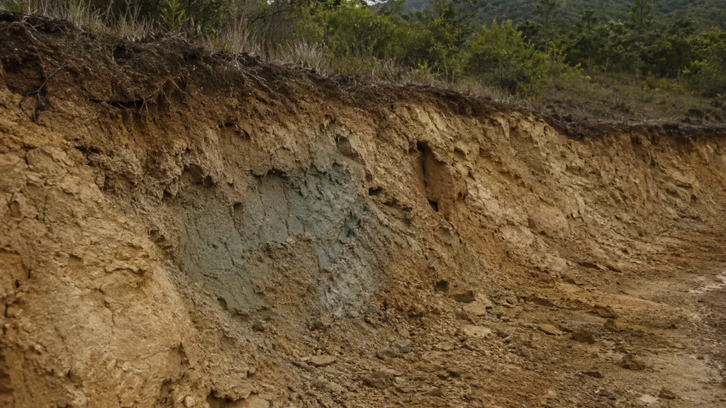
Ground reflectance spectra were part of that verification process. The paper identifies the iSpecField-WNIR-HRs portable ground spectrometer and names LiSenOptics, Shenzhen, China, in the methods section.
Paper and Instrument Details
- Paper: Environmentally Sustainable Lithium Exploration: A Multi-Source Remote Sensing and Comprehensive Analysis Approach for Clay-Type Deposits in Central Yunnan, China
- Journal: Sustainability
- Published: 21 April 2025
- Volume and issue: 17(8), Article 3732
- First author: Yan Li
- DOI: 10.3390/su17083732
- LiSen Optics instrument: iSpecField-WNIR-HRs portable ground spectrometer
A Multi-Source Exploration Framework
The research integrated GF-3 QPSI synthetic-aperture radar data, GF-5B AHSI hyperspectral imagery and Landsat-8 OLI multispectral data. The authors used these sources to extract and evaluate hydroxyl alteration, iron staining, mineral information, lithology and structural features.
Hierarchical anomaly extraction was combined with a multidimensional weighted analysis. The workflow included principal component analysis, spectral hourglass processing, structural interpretation, reclassification, kernel-density analysis and normalization. The objective was to identify prospecting targets while reducing dependence on broad, disruptive field investigation.
How the iSpecField-WNIR-HRs Was Used
The published methods state that rock spectral data were collected with the iSpecField-WNIR-HRs. The instrument covered 200–2500 nm and combined a 2048-pixel BT-CCD detector with a 512-pixel InGaAs detector. The paper also records GPS capability and use of SpecAnalysis software in the field-spectral workflow.
Reflectance spectra from rock samples and lithium-bearing minerals supported comparison between ground observations and remotely sensed mineral information. The study describes preprocessing of the field spectra before they were used in the broader exploration analysis.
Field Validation and Interpretation
The integrated method delineated three priority target areas. Field validation in the most promising area reported Li₂O contents from 0.10% to 0.22%. Those values are results from the authors’ sampling and analytical procedure; they are not instrument specifications or generalized detection limits.
What This Citation Demonstrates
This paper documents the portable spectrometer as one component in a layered exploration strategy that joined ground spectra with hyperspectral, multispectral, radar and geological data. Because the publisher page identifies the manufacturer location and full model name, readers can independently verify the equipment reference and its role in the methods.
Read the Paper on Sustainability
Editorial note: This article summarizes the cited publication. The experimental design, analysis and conclusions are those of the paper’s authors. Reported results have not been independently reproduced by LiSen Optics unless explicitly stated.