
Reliable biodiversity mapping in degraded desert grassland is difficult because plants are short, leaves are narrow, and vegetation is scattered across large areas of exposed soil. A 2025 paper in Scientific Reports addressed that challenge by combining UAV hyperspectral imagery, vegetation indices, texture information, field observations and an Encoder-CNN model.
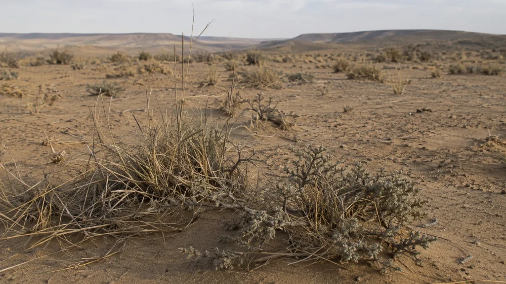
The study is particularly relevant to field spectroscopy users because the researchers did not treat the UAV image as a stand-alone source. They collected ground reflectance measurements with a LiSen Optics iSpecField spectrometer and used those spectra as reference data within a broader multimodal workflow.
Paper and Instrument Details
- Paper: Assessment of plant diversity index in degraded desert grassland using UAV hyperspectral multimodal data and Encoder-CNN
- Journal: Scientific Reports
- Published: 21 August 2025
- Volume: 15, Article 30678
- First author: Zhaohui Tang
- DOI: 10.1038/s41598-025-15566-9
- LiSen Optics instrument: iSpecField ground spectrometer
Why Ground Spectra Were Important
The field campaign was conducted in a 45 m × 45 m test area in degraded desert steppe in Inner Mongolia. Twenty vegetation plots measuring 1 m × 1 m were surveyed. According to the published methods, average reflectance values for ground features were measured with the iSpecField instrument at approximately 1.0 m above the surface and used as standard spectral data.
These reference spectra supported the interpretation and labeling of the UAV hyperspectral imagery. The researchers also recorded vegetation species, abundance, cover, height and other field observations, creating a ground-based reference for evaluating image classifications.
Multimodal UAV Hyperspectral Workflow
The study combined spatial-spectral information with vegetation-index and texture features. Random forest analysis was used to evaluate wavelength importance, while the Encoder-CNN framework was designed to learn both global and local information. The resulting classifications were then used with field survey data to calculate plant diversity indices.
The paper reports an overall sparse-vegetation classification accuracy of 90.01% and an average accuracy of 85.23%. Those results belong to the authors’ complete experimental workflow; they should not be interpreted as a performance specification for one instrument in isolation.
What This Citation Demonstrates
This publication documents a practical role for field reflectance measurements in UAV hyperspectral ecology research. The publisher’s methods section identifies both the LiSen Optics manufacturer and the iSpecField model, allowing readers to verify how the ground spectrometer was used alongside airborne imaging and field survey data.
Read the Paper on Scientific Reports
Editorial note: This article summarizes the cited publication. The experimental design, analysis and conclusions are those of the paper’s authors. Reported results have not been independently reproduced by LiSen Optics unless explicitly stated.