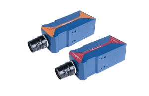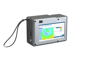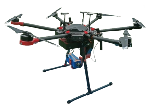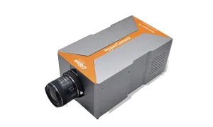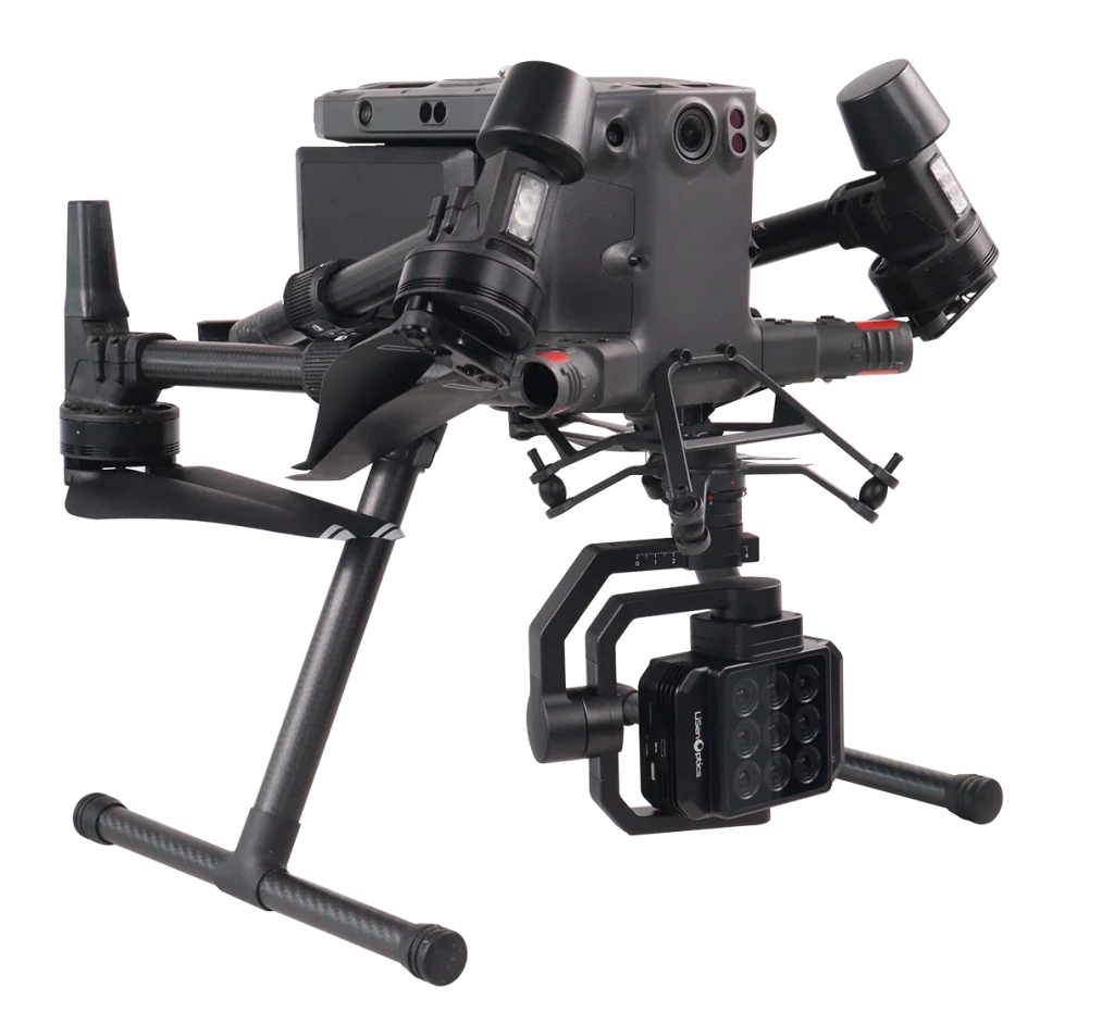
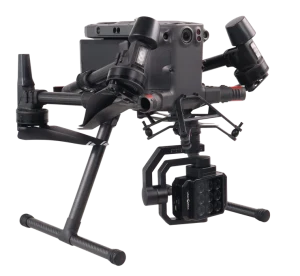
The iSpecSens-MSP7 UAV multispectral camera captures seven multispectral bands and one RGB channel simultaneously for high-resolution aerial surveys. It is designed for precision agriculture, detailed forest resource surveys, disaster assessment and recovery, environmental monitoring, and resource exploration.
Live image transmission, real-time processing, and visualization help field teams review spectral data as it is collected and make timely decisions across large survey areas.
Key Features
- Synchronized imaging: acquire seven-band multispectral data and RGB imagery at the same time.
- Real-time monitoring: view transmitted images, process data in real time, and identify anomalies visually.
- Radiometric accuracy: high-accuracy radiometric calibration and ambient irradiance correction support reliable spectral data.
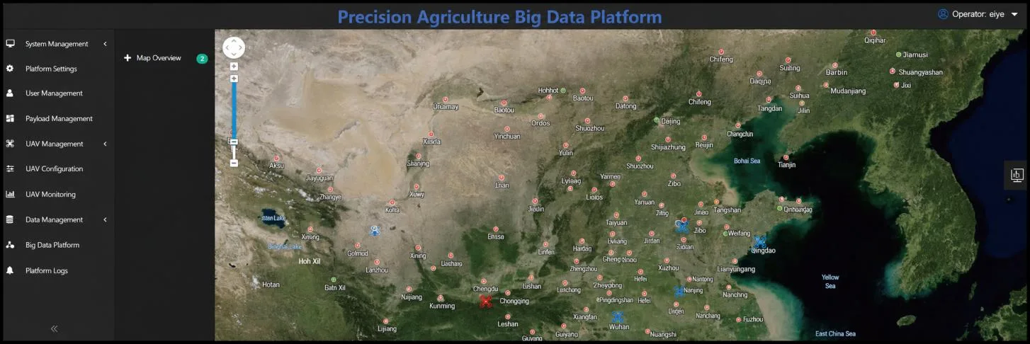
- Embedded analytics: built-in models provide rapid results that are easy to interpret in the field.
Multispectral Imaging and UAV Integration
The standard configuration uses bands centered at 450, 550, 650, 720, 750, 800, and 850 nm, with narrowband channels at 720 and 750 nm. Optional bands are listed in the technical specifications. A global-shutter CMOS sensor, a 5 mm f/2.0 lens, and 12-bit acquisition support synchronized aerial imaging, with spectral images saved as 16-bit TIFF files.
At 120 m above ground level (AGL), the specified ground footprint is 103 × 77 m and the ground sampling distance is 5.05 cm/pixel. Live preview runs at up to 20 fps across all channels, while triggered capture reaches up to 1 fps across all channels. Preview and capture can run concurrently.
The removable gimbal camera supports DJI X-Port integration with DJI M400 RTK and M350 RTK platforms and is controlled through the DJI Pilot App. It acquires data continuously during flight without requiring the aircraft to hover. Custom integration is available on request for other multirotor UAVs, fixed-wing UAVs, unmanned airships, and other aerial platforms.
Applications
The MSP7 supports aerial monitoring and research across agriculture, forestry, water, and environmental science.


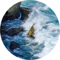
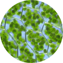

Image Processing and Flight Planning
Image Processing
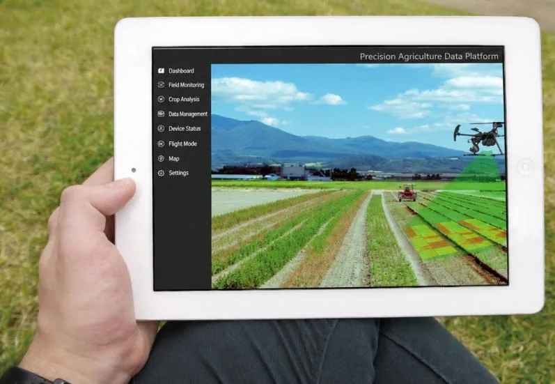
Real-time image processing and visualization bring multispectral survey data into the field workflow. Radiometric calibration, irradiance correction, spectral calibration, and distortion correction support the acquisition and analysis process.
Flight-Path Planning
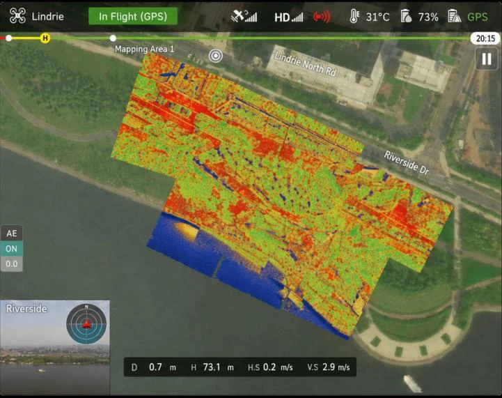
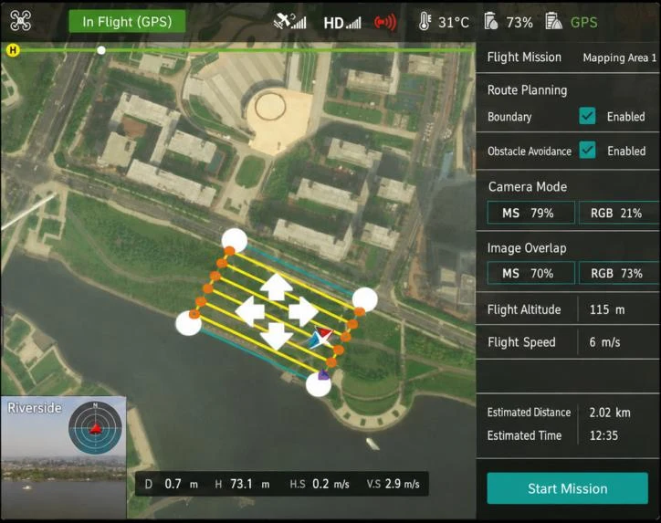
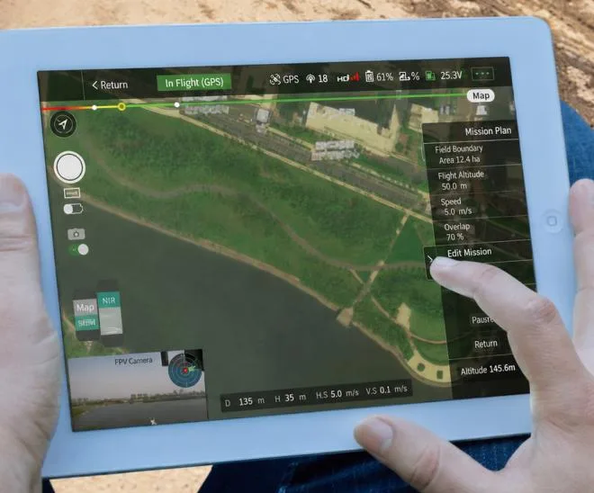
Single, timed, and overlap-based triggering support different survey requirements. The flight-planning interface shows the survey boundary, image overlap, flight altitude, and speed, while field mission views allow the operator to review acquisition settings.
Data-Driven Model Optimization
Technical Specifications
| Parameter | iSpecSens-MSP7 |
|---|---|
| Product Image |
 |
| Mounting | Removable |
| Angular Vibration Range | ±0.01° |
| Controllable Range | Yaw: -120° to +30° |
| Mechanical Range | Pitch: ±320°; Yaw: -120° to +30°; Roll: -55° to +55° |
| Maximum Control Speed | 90°/s |
| Multispectral Imaging | 7 multispectral channels + 1 RGB channel |
| Spectral Bands | Standard: 450, 550, 650, 720 (narrowband), 750 (narrowband), 800, and 850 nm; Optional: 410, 490, 530, 570, 600, 660, 680, 720, 750, 780, and 900 nm |
| Image Sensor | 1/3.1-inch CMOS; global shutter; 3.2 MP |
| Image Resolution | 2048 × 1536 |
| Bit Depth | 12-bit |
| Lens | 5 mm focal length; f/2.0 aperture |
| Field of View | HFOV: 46.6°; VFOV: 35.8° |
| Ground Footprint | 103 × 77 m at 120 m AGL |
| Ground Sampling Distance | 5.05 cm/pixel at 120 m AGL |
| Live Preview | Up to 20 fps (all channels); concurrent preview and capture |
| Capture Rate | Triggered capture; up to 1 fps (all channels) |
| Trigger Modes | Single, timed, and overlap-based triggering |
| Spectral Image Format | 16-bit TIFF |
| Calibration and Correction | Spectral calibration, radiometric calibration, irradiance correction, and distortion correction |
| Storage Capacity | 128 GB |
| Interfaces | DJI X-Port; 6-pin communication interface |
| UAV Platform | DJI X-Port compatible; seamless integration with DJI M400 RTK and M350 RTK |
| Other Aerial Platforms | Custom integration for other aerial platforms is available upon request (multirotor UAVs, fixed-wing UAVs, unmanned airships, and more) |
| Control Software | DJI Pilot App |
| Acquisition Mode | Continuous in-flight acquisition; no hover required |
| Dimensions | Gimbal camera: 129 × 145 × 177 mm; downwelling light sensor: 75 × 47 × 31 mm |
| Weight | Gimbal camera: 780 g; downwelling light sensor: 54 g |
| Operating Temperature | -20 to +50 °C |
| Storage Temperature | -20 to +60 °C |
For details on spectral band selection or integration with another aerial platform, contact LiSen Optics. Explore the UAV multispectral camera range for related products.